April 26-27/2023
By Doug
Mina. A very small town in Nevada on hwy 95 you've most likely never heard of. It possesses the perfect opportunity to leave a car and start out for this impressive overnighter bikepacking trip.
So in late April I did just that. Let me preface by saying that the American west and particularly California, Nevada and Utah have had record precipitation this winter. Some of the route I traveled on was washed out and reclaimed by the desert making route finding more challenging than usual, especially when leaving Little Huntoon Valley. It is unlikely these roads will be rebuilt however one that had obviously been washed out had already seen some sort of large equipment in there scraping out a rough route.
I began riding out of Mina not expecting to find any surface water on this route with a little over 7 liters of water... 16lbs of water for the 2 days. Heading south toward the airport to avoid riding on the hwy it wasn't long before a large enclosed fence area blocked off of my planned route and couldn't return to the hwy which now was about a mile away. So skirting the fence I basically just started riding out across the desert and eventually found a way back to the pavement. For future reference don't follow my track where it abrubtly turns west and strikes out into the desert. If you go a little further south on the dirt rd you'll run into the another dirt route that will lead you back to the hwy. This is the road I eventually found shortly before hitting the pavement.
A short tarmac section on hwy 95 and another few miles of dirt found me on the pavement again on NV 360. This was only about a 2 mile section but with virtually no shoulder I rode against what little traffic there was and moved off the pavement or back into the opposite lane when traffic (mostly big trucks) approached. Turning off on dirt again I found myself entering the Marietta Wild Burro Range. The road climbed for awhile cresting a small saddle before dropping down to the basin holding the old mining town of Marietta and Teels Marsh. From Marietta my planned route really didn't exist on the ground here. A little seat-of-the-pants navigation got me back on route on the other side of town. It was a better route route anyway. Starting up an unnamed canyon toward Little Huntoon Valley I could see the bulldozer tracks heading up canyon. As the wash became more pronounced it was apparent the road had been completely obliterated and the dozer was scraping it back in.

 |
| Dropping into the bowl of Teels Marsh and Marietta |
 |
| Smith's store |
 |
| Marietta |
 |
| The current residents |
 |
| Boundry and Montgomery Pks |
 |
| Looking back the way I came in |
 |
| Recently worked road |
 |
| Recently worked road |
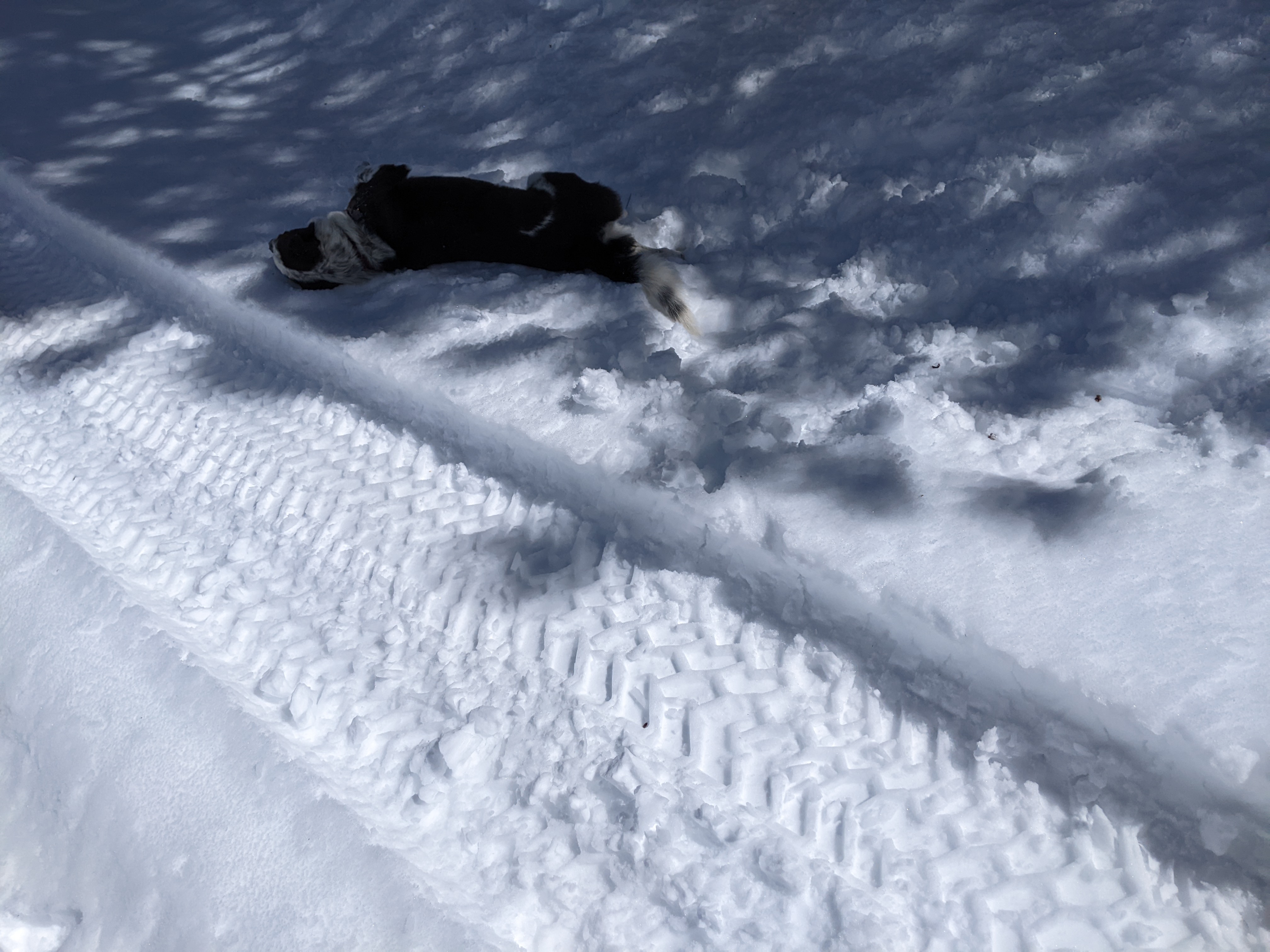
Entering Little Huntoon Valley I looked for the junction that I would be riding tomorrow that would take me north out of the valley. I never saw it. I continued on with my goal being climbing up over a saddle and down another 400 ft. reaching Bass Camp, aka - Cabin Under The Rock. The loose plan was to explore the area then climb back out over the 400 ft saddle again and camp in the side canyon I was now climbing. Ahem...Let's just say I'm in pre-season shape. I made it up as far as the Bighorn sheep guzler, looked up at the last 400 ft. hike-a-bike ahead, wrestled with my motivation for a bit and finally decided to just head back down to some nice camp spots I noticed coming up and call it a day. The 35 miles and 3500 ft of climbing with a loaded bike were enough for the day. I setup a nice camp across from some granite outcroppings, kicked off my shoes and exhaled.
 |
| Bighorn guzzler water collection array |

 |
| Where the water surfaces |
 |
| Bass Camp that way |
 |
| Doug's camp this way |


I can rarely sleep past 6:00am and today was no exception. A beautiful morning greeted me and packing up I was excited about today's ride but questioning in my mind how I would get across Little Huntoon Valley. Noticing a road yesterday coming up out of a wash where my side canyon rejoined Little Huntoon Valley I dropped into and onto this road. It more or less paralleled the route ridden yesterday but I figured it would give me an easier way to cross the near canyon-like wash to obtain the route I needed on the north side of the valley. Nearing yesterday's entry into the valley I was able to veer west now traveling up the main branch of this wash. By looking at the track I had planned on my phone vs where I was in the wash it was relatively easy to navigate to where the original road climbed up out of the wash. Back on an actual route now the climbing continued again over yet another small saddle and dropped into another small valley. It was obvious from my GPS track that this wash had contained the route. No trace of the road was visible having been throughly washed away. The wash bottom was dried mud and decomposed granite and wasn't too difficult to ride up at the 8-9% grade. The canyon walls narrowed and there were several very small granite dryfalls to negotiate but overall this was a very scenic section. Continuing higher and higher the wash eventually pinched out and the road emerged on Pinyon covered slopes. I followed this to the high point of the route at about 7300ft. A quick downhill with a little snow covered section brought me to the branch trail to Summit spring. I wanted to see if it held water so I walked up the short distance to the trough visible on Google Earth. It was brimming with water! So I hadn't needed to carry all that water weight... Oh well, I still had plenty so I certainly didn't need to filter more.

 |
| the route |


 |
| Summit spring |

A nice long downhill took me down to Rattlesnake Flat and then with just a bit of climbing the upper end of Rattlesnake Canyon. I was excited about this because I wanted to see the Petroglyphs in the canyon. I had a spot marked on my GPS route and was only off by a little. Walking around the site I was very surprised how extensive it was. Quite a few large boulders (Volcanic in nature now) were covered in glyphs! I walked around taking pictures then sat in the shade of one to eat a little lunch. What a nice find! The remainder of the ride was just finishing out the canyon, crossing Garfield Flat, a couple small climbs and then a nice downhill cruise back into Mina. Arriving back at my truck I popped a still iced beer, packed my bike and gear away and crossed the street to get a delicious burrito at La Casita, the only place in town.


 |
| Gliding down into Mina below |
This was an amazing trip and despite not making it to Bass Camp had almost everythng a desert traveler could want to see. Old mining town, mountain springs, feral Burro's (yes of course I saw some on the outskirts of Marietta) Antelope and Petroglyphs. I guess the only thing I didn't see was any Desert Bighorns at or about the guzzler. And of course Cabin Under The Rock, hmmm. I had more than a liter of water left with temps in the upper 70's in Mina. This was an excellent and engaging ride and I recommend it!
Ride stats according to RWGPS: (Link goes to recorded ride)
miles - 70.1
Elevation gained 5923
Bike setup:
Binary Bicycles Kinetik hardtail w/130 suspension fork and 29x3.0 tires