In October 2023 I partnered with Kurstin aka Bikepacking Northern Nevada, aka @bikepackingnv. We'd been talking about doing a longer route through Nevada all winter, we finally made it happen. This is the route we rode: RWGPS
Day 7
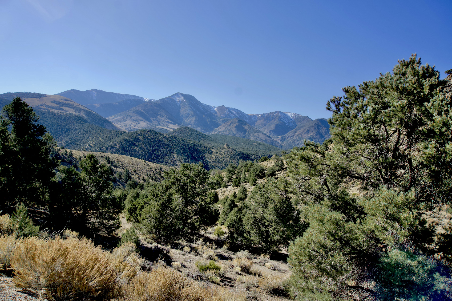
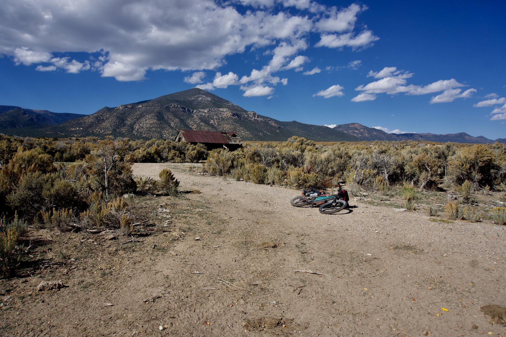
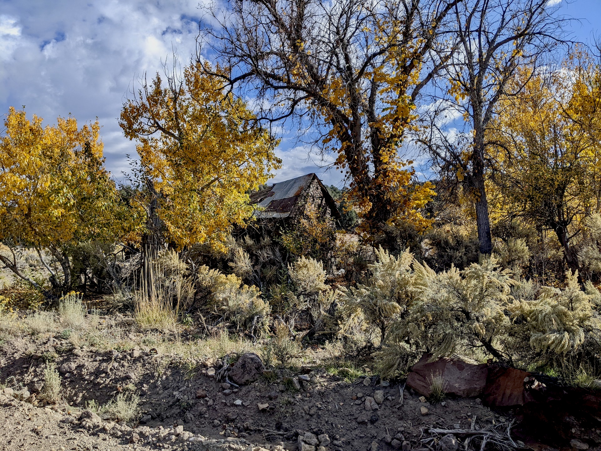
Light rain had been falling through the pre dawn hours and continued intermittently as we packed up in the morning. It was light enough it presented no problems though and it wasn't very cold. Today we were going to make our 2nd crossing of the Monitor Range via Barley Creek Summit. On the way we passed, wait for it... an abandoned ranch/homestead! I was starting to understand that wherever there was a reliable water source someone at sometime had made a living there, or possibly had failed to make a living. Huge amounts of hard work had been put into these places though.
 |
| P.C. Kurstin |

 |
| A different outbuilding |
 |
| P.C. Kurstin |
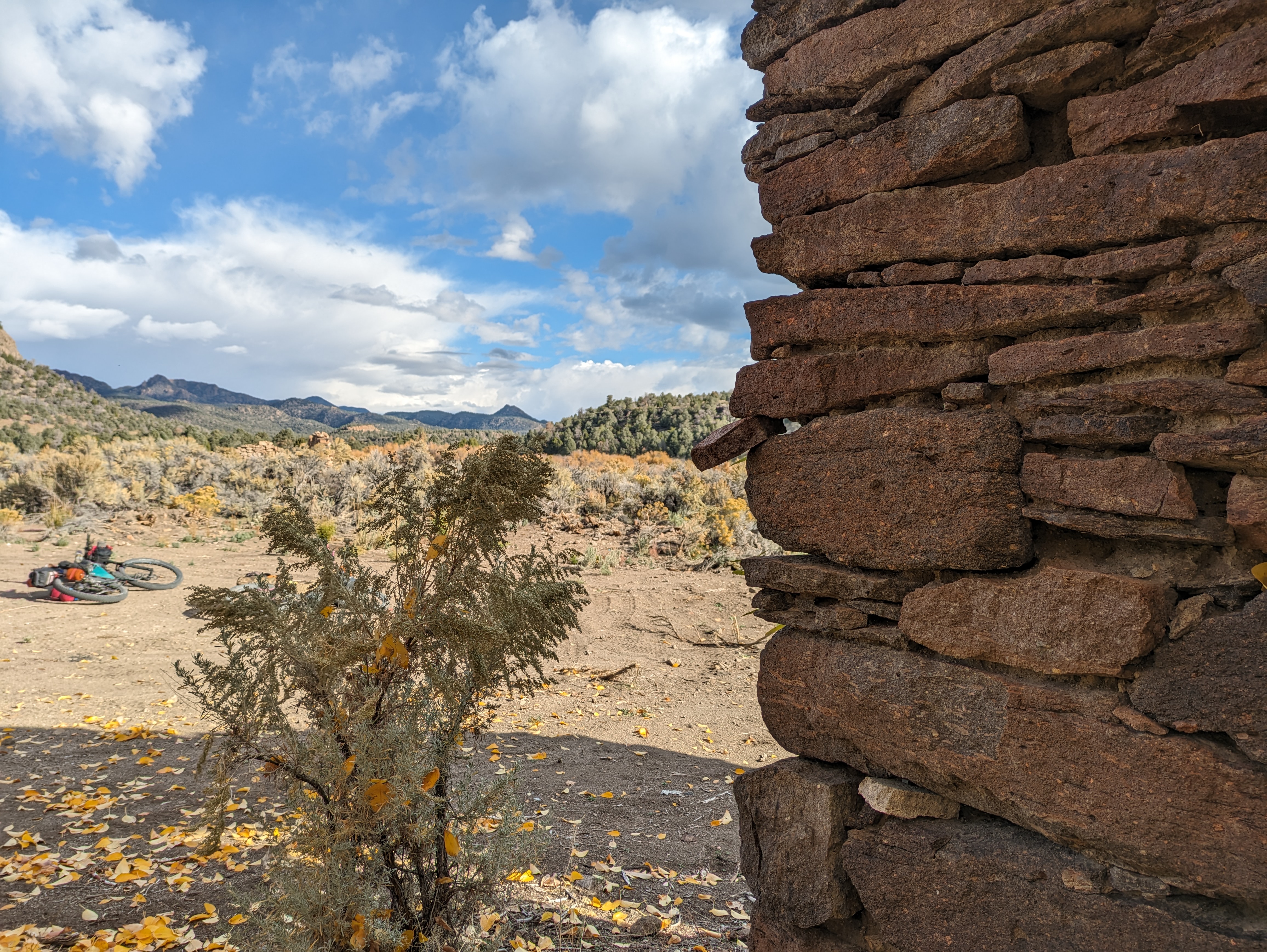 |
| Kurstin's astute observation, "don't pull the keystone" P.C. Kurstin |
As we continued up toward Barley Creek summit we also passed some old mining equipment we couldn't identify. Or perhaps it was some type of farming equipment? Anybody know what this stuff is?


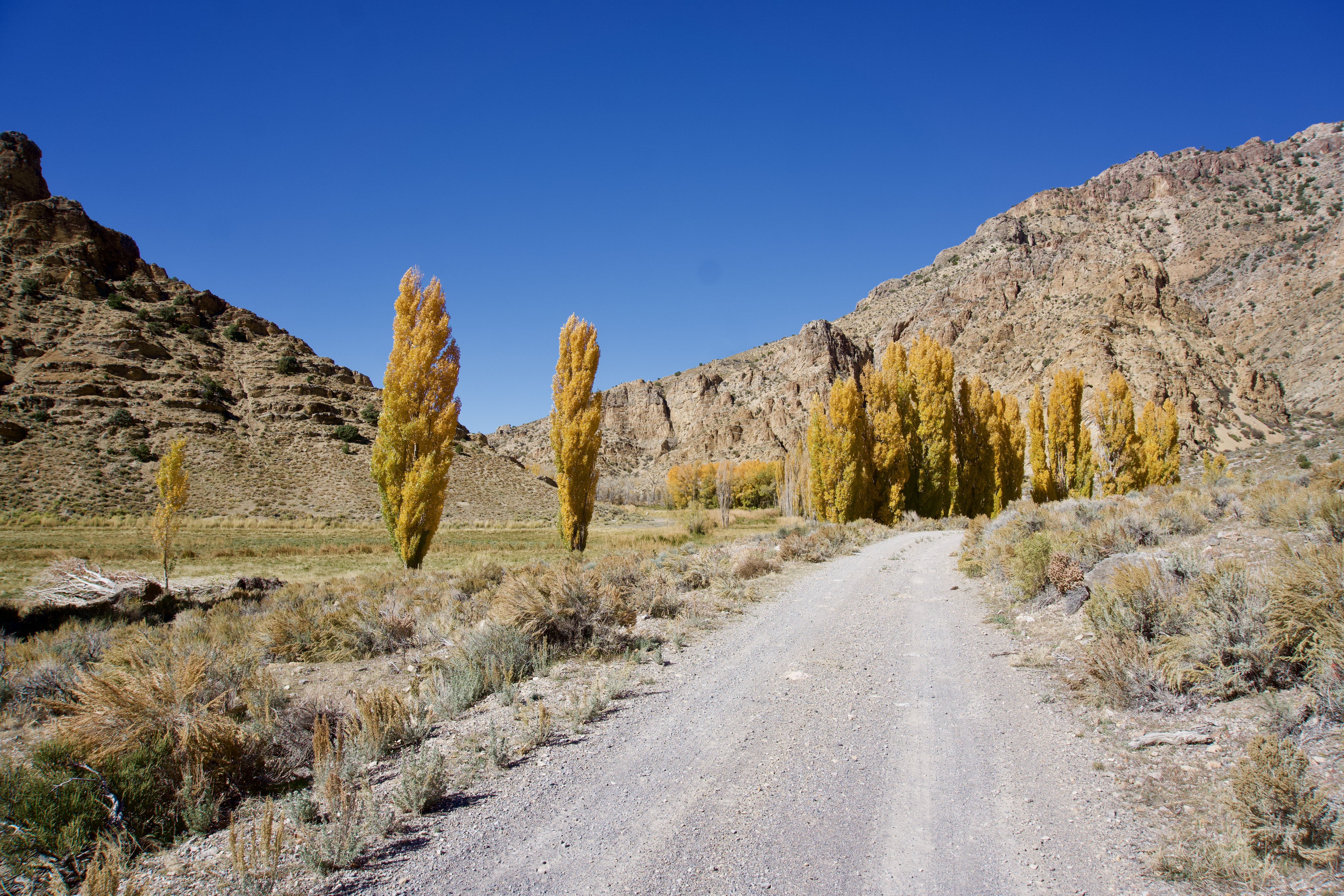
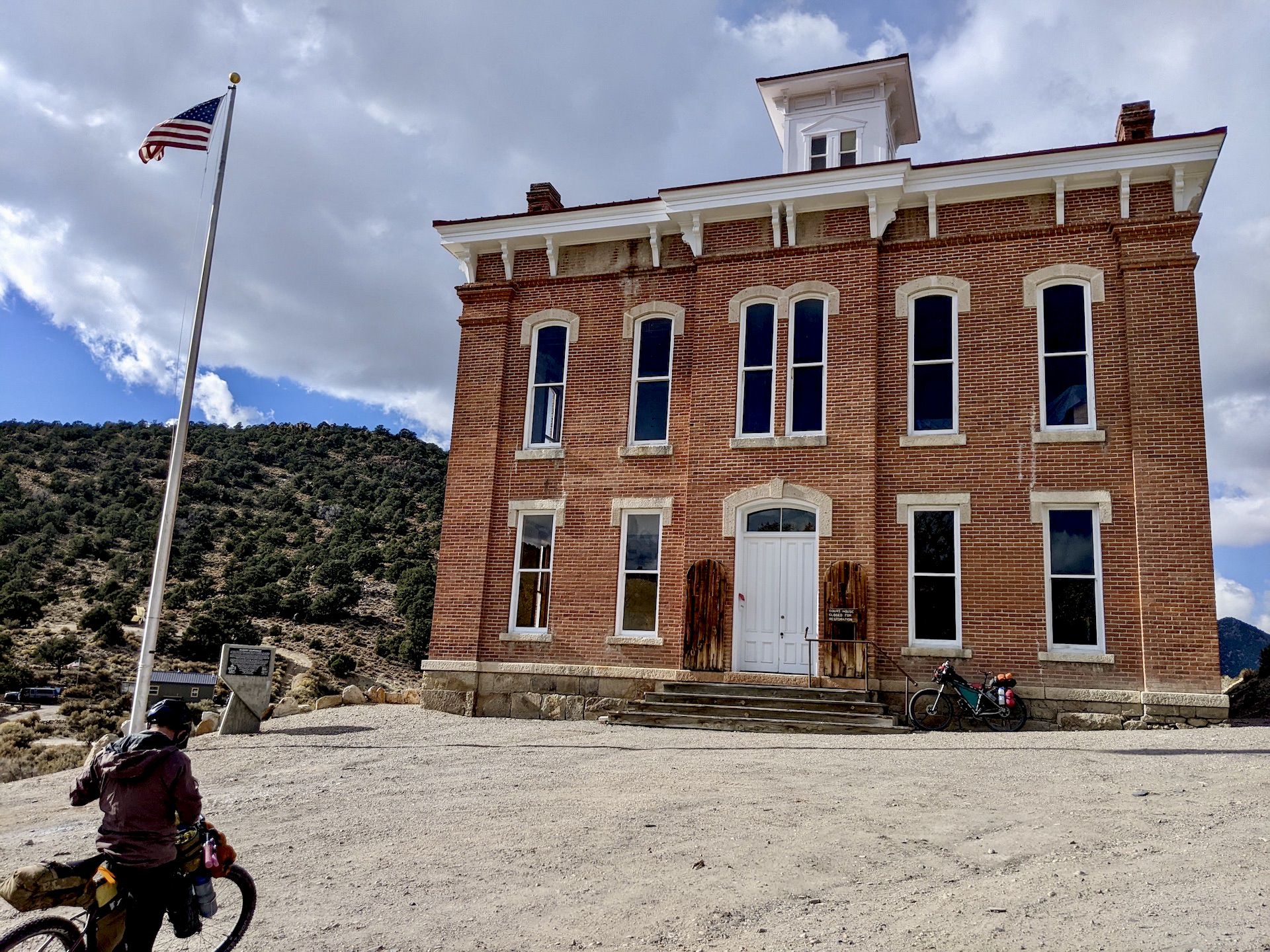
Crossing the pass we dropped back into Monitor Valley and rode over to Belmont. The weather looked threatening but never got bad. It was actually pretty nice in Belmont. We hoped Dirty Dicks saloon was going to be open but it wasn't, and it wasn't unexpected either. Being closed though didn't inhibit us from using the front porch for lunch.
 |
| Combination Mill |


 |
| P.C. Kurstin |
 |
| P.C. Kurstin |
Then it was over to the town spring for a fill up, no filtering needed, and a visit to the historic courthouse.


We had made the strategic decision during lunch to alter our route plan a bit and instead of heading back north into a stiff headwind then up over Jefferson summit, we would head out of town on fast pavement with the wind at our backs and cut off to cross Manhattan summit instead. I was happy but Kurstin has done this route previously and I could tell he would rather have gone over Jefferson. He was gracious enough to happily agree with my suggestion. Fast travel on tarmac led us south out of town until the cutoff up toward Manhattan. Crossing Ralston Valley the weather finally caught us with a pretty good hail and rain shower. (I found out later that while he had just made it outside of the squall zone he was secretly snickering watching me get pounded. Bad Kurstin. May your next 3 beers be warm and flat!) We made another random camp part way up Manhattan Wash and another night of high commercial airline traffic again forced the use of ear plugs. Camp 7 OATAF = 7.
Camp 7: 38.530939, -116.990072

Chilly morning temps greeted us, but definitely not like the second morning. It wasn't long before we topped Manhattan summit where we were greeted by...dang I forgot his name, but he proceeded to tell us everything he knew about the local mining history. But he couldn't remember names either so it went something like "yeah that operation was bought out, on the south side of the ridge... by...who was that? No that was the other side of the ridge what was that outfit?" Truly a delightful guy though. Eventually he tapered off and loaded up his dogs and drove off. What was his name? I was exhausted.


From Manhattan it was all downhill back into Big Smokey Valley, then back over to the Fremont Route which we rode a few days earlier. We made an even more southerly end run around the Toiyabe Range and ended our day at Willow Spring. We both felt the end of our trip drawing near. Oh yeah, remember in the prologue I said we had nary a mechanical but see day 8? Kurstin discovered a broken nipple on his rear wheel this evening but it hadn't caused any problems. We had a short ride tomorrow so he decided to just ignore it. Not much to be done unless it caused an issue. Camp 8 OATAF = ? Must not have been a problem.
Camp 8: 38.603599, -117.598412
 |
| P.C. Kurstin |
 |
| P.C. Kurstin |
 |
| P.C. Kurstin |
 |
| P.C. Kurstin |
Day 9
It was only 22 relatively easy miles back to the truck. Before we were ready to be, we were done. A not-cold beer while breaking down and stowing our gear, that was it. But at least we had burgers and an actual cold beer awaiting us at Middlegate Station on the way home.


 |
| Kurstin impressed me yet again with his choice of an "Evil Monster Burger" |
On days 7-9 we climbed over the Monitor Range, crossed Monitor Valley, transitted Ralston Valley, climbed over the Toquima Range, made a southerly end run around the Toiyabe Range via Big Smokey Valley. Climbed a bit over the southern end of the Shoshone mountains, then transitted north up Ione Valley back to the truck.
Logistics: We did not resupply though you could back track ~10 miles one way to Hadley if necessary.
Trip Stats: 332 miles, 18,201 ft. climbing.
Bikes:
Doug: Binary Bicycles semi-custom Kinetik titanium hardtail, 29x3.0 wheels and tires. Bikepacking bags and custom rear rack.
Kurstin: Custom Falconer rigid, 27.5x2.8 wheels and tires. Bikepacking bags.
Final comments. I have been planning multiple routes across Nevada for several years. I have taken several smaller bites from various routes but this was the longest ride yet. The route is VERY good and not overly difficult. There are a few tough sections but it's all doable and almost all rideable. In my opinion an intermediate route. I recommend riding it in the direction of the route page. Same direction as we accidentally did. Logistically there was plenty of water for our ride and resupply is available in Hadley and or Carvers. Kurstin came up with name "Sagebrush Ripple" for this route for the oceans of sage and the mountains, valley, mountains, valley nature of the route. The 'ripples'. Kurstin is an easy going, very capable, knowledgeable and importantly, a fun partner. He knows the place names much better than I do and has ridden more Nevada outback. I think we complemented each others personalities. He liked the penguin joke. Neither of us ended the trip better looking. Check out Kurstin's take on our trip here.